
Much cooler air moves in for the week
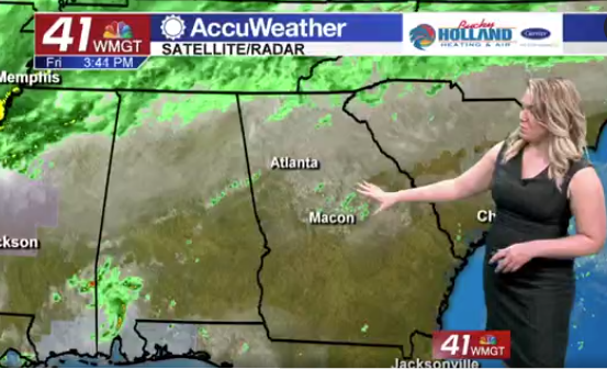
A cold front is approaching Middle Georgia this evening, bringing storms and rain to parts of North Georgia.
We are monitoring the storms for the chance that they stay together as they approach our area, but even if they do, they likely won’t be severe.
Behind the cold front we will see clearing, cool air, and some breezy conditions. Expect wind gusts around 20 mph tomorrow afternoon.
Sunny skies will allow highs to warm into the middle and upper 70’s.
The cool air really settles in across the region on Thursday. It will be cool to start the day, but full sunshine will allow us to warm into the mid and lower 70’s. This will just be prep for the even bigger cool down that moves in for the weekend.
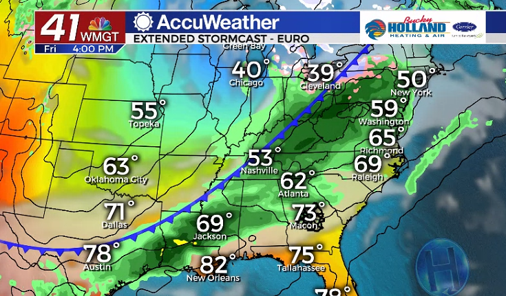
Friday another cold front will move through the area, bringing a chance of rain and storms. Behind this front will be what is likely our last big cold snap of the season.
Lows will fall into the low 40’s by Sunday morning with highs all weekend in the low 70’s.
Regardless there isn’t much rain in the forecast, so any outdoor activities will likely be fine through the weekend.


Leave a Reply